

Survey and Mapping
Land survey and mapping services in the civil engineering field are pivotal components that underpin the successful planning, design, and execution of any project. These services involve the collection, analysis, and presentation of precise spatial data crucial for understanding property layouts, the overall landscape, assessing sites, and creating accurate plans. It could be as simple as installing a fence or adding a deck, or used for more complex construction and development purposes. Either way, it all starts with survey!
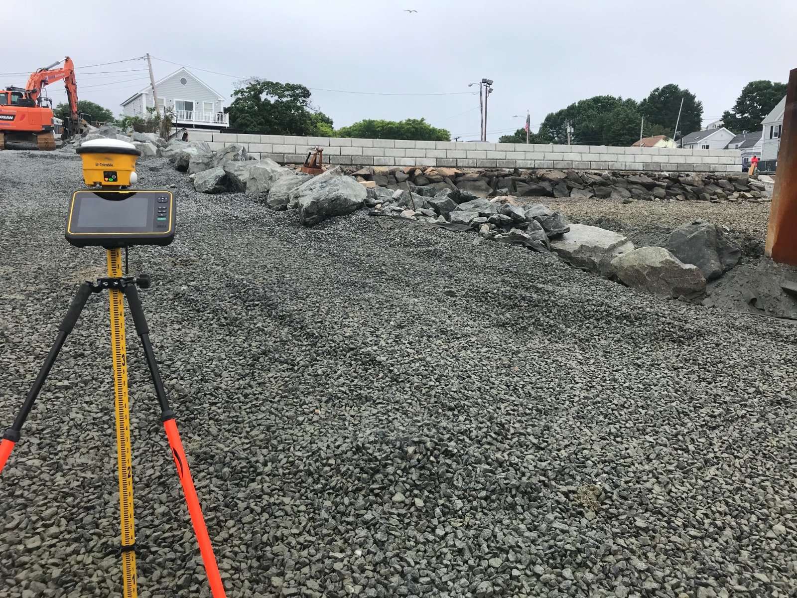
Construction Staking and Layout (“Stakeouts”): Our team assists in marking the precise locations of proposed structures or improvements on the ground, ensuring accurate implementation of design plans during construction. It could be a school building or commercial property, or just adding a shed or pool to the backyard. We can also supply asbuilt plans to certify work once construction is complete.
Utility Surveys: Identification and mapping of underground utilities, such as water pipes, sewer lines, electrical cables, and telecommunication networks, are critical to prevent conflicts during construction and ensure safety.
Aerial Surveys and Photogrammetry: Utilizing drones, aircraft, or satellites, our team captures high-resolution aerial images to create detailed maps, 3D models, and orthophotos, to support site analysis and project planning.
Geographic Information System (GIS) Mapping: Engineers use GIS technology to analyze and visualize spatial data, enabling better decision-making regarding land use, environmental impact assessments, and infrastructure planning.
Monitoring and Deformation Analysis: Continuous monitoring of structures, slopes, or earthworks using advanced surveying techniques helps detect any deformations or movements, allowing for timely intervention and maintenance.
Scope of Land Survey and Mapping Services:
Land Surveys: Our field crew, civil engineers, and professional land surveyors conduct land surveys to determine property boundaries, topography, contours, and physical features of the land. This data is essential for designing a residential property plan or doing bigger infrastructure projects like roads, buildings, and utility systems.
Boundary Surveys and Legal Descriptions: We can establish accurate property boundaries and prepare legal descriptions, forms, and plans as necessary for property transactions, subdivisions, or land development.

Key Considerations:
Precision and Accuracy: Survey and mapping services require high precision to ensure the accuracy of data collected, as minor errors can significantly impact project outcomes. We invest in the latest and greatest technologies - both software and hardware.
Technological Advancements: Advancements in surveying technology, such as LiDAR (Light Detection and Ranging) and GPS (Global Positioning System), have revolutionized data collection, enabling faster and more accurate surveys.
Interdisciplinary Collaboration: Collaboration with other disciplines such as architecture, urban planning, environmental science, and construction management is essential to integrate survey data effectively into project planning and execution. Let us know if you need a referral.
Regulatory Compliance: Surveyors must adhere to local regulations and standards while conducting surveys, ensuring that the collected data meets legal requirements and industry standards.

Every property deserves to be dealt with appropriately. Let’s start with a survey, map it out, and help you get the design right. We are here for you!


Let’s get started
Email:
admin@strongtree.engineering
Phone:
MA Office (774) 559-3942
NH Office (603) 703-4767
CT Office (203) 275-5375
Please fill out the form below and our team will reach out to schedule your FREE initial consultation